UF scientists to develop AI technology to help growers assess crop damage after hurricanes
June 30, 2025
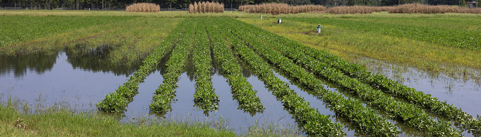
Imagine using a generative AI platform similar to ChatGPT to get crop-damage information after a hurricane. That’s what University of Florida artificial intelligence (AI) scientist Nikolaos Tziolas plans to provide to farmers statewide. With ... READ MORE
Category: Agriculture, CropsTags: Artificial Intelligence, ChatGPT, Computers, Crop Damage, Damage Assessment, Generative AI, Hurricanes, Nifa, NIFA Grant, Nikolaos Tziolas, Prec-ag, Recovery, Satellite, Satellite Imagery, Smartphone, Soil, Soil Water And Ecosystem Sciences, Southwest Florida Research And Education Center, Water