Florida’s history and heritage was the theme of a joint 4-H camp hosted by Highlands and Okeechobee counties on July 9.
The camp brought together youth ages 8 to 12 to learn about Florida’s history, cook traditional recipes, visit historic sites, and to learn about how the Kissimmee River has shaped both the landscape and its inhabitants.

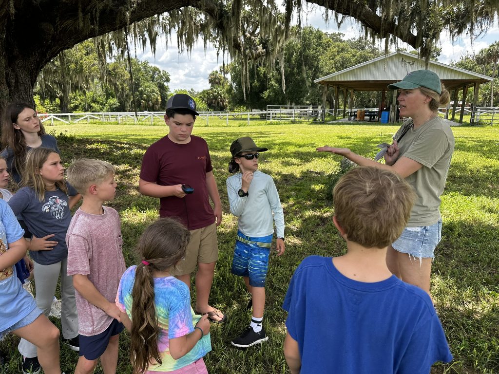
In addition to traditional camp activities, they partnered with the UF’s School of Forest, Fisheries, and Geomatics Sciences’ Geomatics Extension program to introduce surveying and mapping to their investigation into the important river ecosystem.
The Kissimmee River is the boundary between these two counties and was also the backdrop for this week of camp, with campers visiting natural and historic sites on both sides of the river.
The originally meandering river was channelized in the 1960s to reduce flooding, but even before the project was completed, the ecological impacts of the project became clear.
In 1999, the Kissimmee River Restoration Project was started, backfilling section by section of the river channel to return the river to its natural, wandering path through the oak and palm hammocks.
Campers participated in hands-on activities to explore their surroundings throughout time by learning geospatial skills and methods and by applying them to their day of camp. They performed time-series analysis to identify changes to the river’s path by analyzing historical images in the Fort Bassinger area to see when back fill had occurred in the restoration project and how that had diverted the river’s path. They also created thematic maps of the Edna Pearce Lockett Homestead whose location and development were influenced by the river while exploring the historic location and learned how GPS works while geocaching and visiting the Hickory Hammock Wildlife Management Area to see the restored ecosystem.

While the day’s activities were specific to Highlands and Okeechobee’s County Line Camp, the spatial reasoning skills and career insights are widely applicable. Every location has its own unique geography and has its own history to be explored!
If you are interested in bringing a geospatial curriculum to one of your youth education events, please reach out to the Geomatics Extension program at geo-extension@ifas.ufl.edu.
To learn more about Geomatics Extension click here.
The Geomatics Extension program is part of the UF/IFAS School of Forest, Fisheries, and Geomatics Sciences. Our mission is to provide surveying education and workforce development programs to both the Florida surveying industry and the general public. As part of the Cooperative Extension Service, we work statewide to extend the reach of the Geomatics Department; providing resources and education to the surveying industry and the general public.
 1
1
