One aspect I really love about my work with Extension is the incredible network of creative, helpful, and extraordinarily knowledgeable people it gives me quick access to. In 2010, I had no idea how to respond when an oil spill was approaching local beaches. So, I dialed up a natural resource agent with University of Alaska Extension, who was happy to talk me through both the emotions and research on handling the aftermath of a spill. And where to start when UF IFAS Extension was charged with planning a field tour for a national meeting 1,800 miles away? We contacted the Utah State Extension office in Salt Lake City, and within a few days had a dedicated partner who quickly arranged food, transportation, and tour locations based on our schedule.
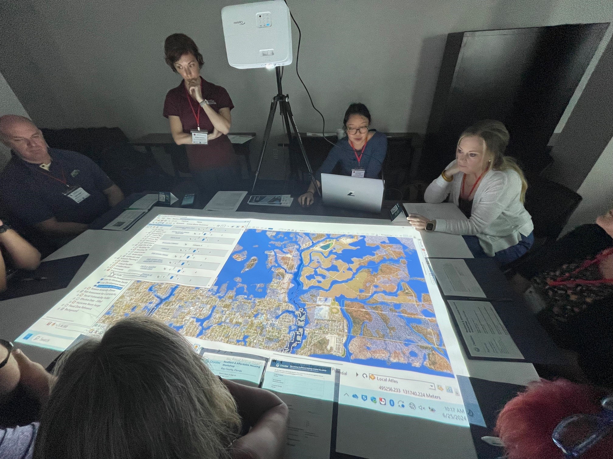
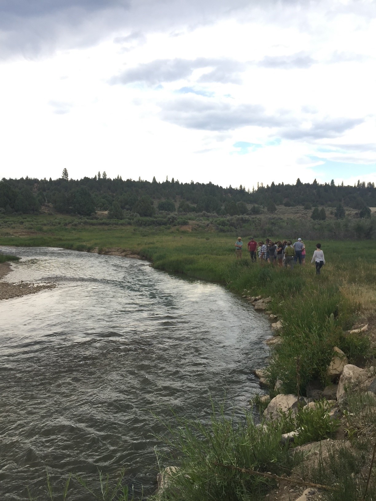
I have learned from travel in general and Extension work in particular that the more time you spend with people from “somewhere else,” the more you realize we all have the same issues. People need jobs, safe and reliable housing, good schools for their children, and protection from natural disasters. Yesterday, I was able to participate in a workshop addressing many of these issues with colleagues from Texas A&M AgriLife Extension. They have developed a digital tool called Community Health and Resource Management (CHARM), which allows planners, elected officials, realtors, etc. to interact with real time data on a projected map. While seated around it, they can formulate plans on how to conserve, develop, and analyze land use in their community.
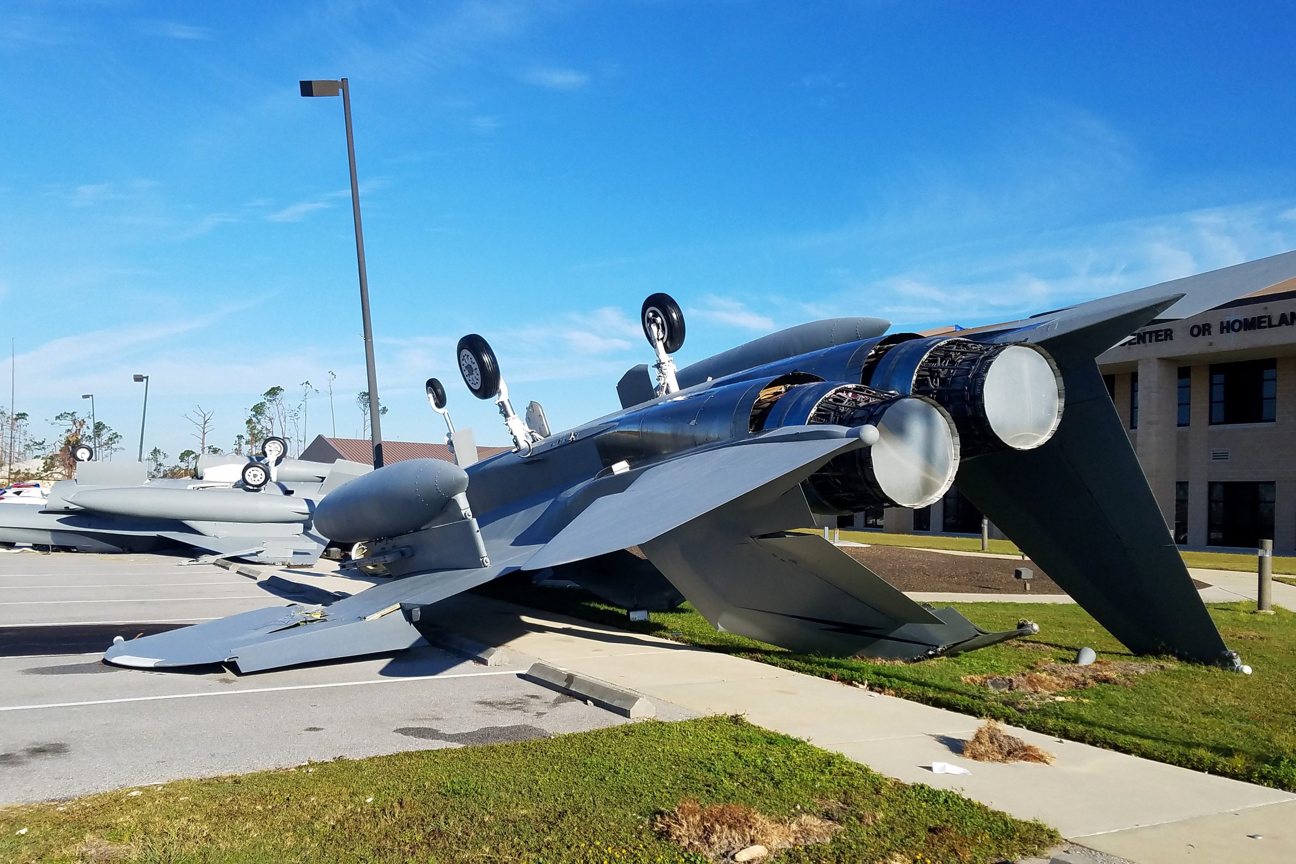
The workshop, held in Panama City, was focused on “resilient workforce housing” needs in fast-growing Bay County. Even 6 years later, the shadow of Category 5 hurricane Michael affects the way people think about how the community should redevelop. Add to that a huge influx of new personnel (and their families) at Tyndall Air Force Base, and there are a lot of parameters to consider. The goal of the CHARM exercise was to look at different factors affecting housing and find reasonable locations to accommodate projected growth while avoiding/reducing impacts to sensitive ecosystems. They also wanted to physically locate housing near resources people need, like job centers, daycares, and grocery stores to reduce traffic and wasted time on the road.

The beauty of GIS mapping and databases is that all this information can be shown at the touch of a button. Workshop participants filled out surveys ranking how important it would be to avoid certain risks—flood zones, storm surge projections, wetlands, military buffers, etc. Based on group consensus, the facilitators were able to block out whole sections of the map, particularly along coastlines and wet areas. The second step involved prioritizing amenities they anticipate new residents needing nearby. These included schools, stores, utilities, and proximity to jobs at Tyndall AFB and other primary employment areas.

Once all this data was input, the map showed blue areas (to avoid) and pink areas (to target), highlighting the most optimal places to direct future residential and mixed-use development. Attendees then discussed specific regions where people are already moving, along with undocumented places that may need to be avoided, such as a zone where the off-putting odor of a chemical plant is located. Using a paint tool, they could insert potential housing types directly onto the map as a potential guide for planned development.
The Texas Community Watershed Partners (CWP), a division of TAMU Extension, has led 40 workshops using the CHARM technology, and are now piloting this housing-focused program with several partners in Florida. The Bay County workshop was the first of a grant-funded (thanks, NOAA!) effort awarded to the Gulf of Mexico Alliance and their partners with the Texas CWP, Florida Housing Coalition, and Emerald Coast Regional Council. Exercises like these will help communities provide safe, convenient, and more affordable housing to current and incoming residents of Florida as the threat of climate-based disasters looms larger.
 6
6
