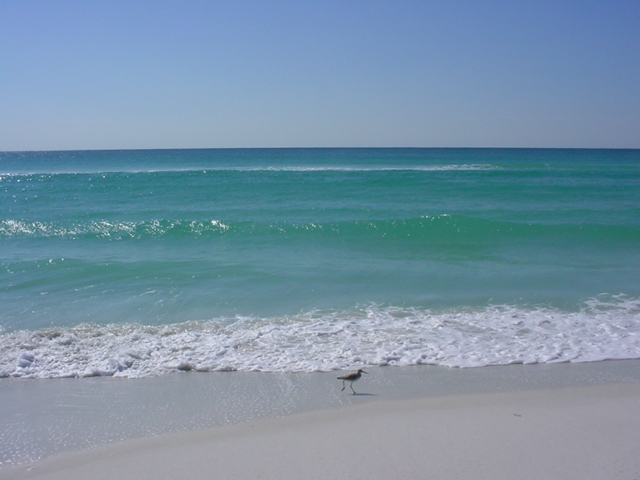
Those of us who live and spend time along the Gulf of Mexico know it’s a special place. Compared to most American coasts, our beaches have whiter quartz sand, our water is a more beautiful shade of turquoise, and our food is second to none. The (mostly) laid-back culture of hospitality and celebration in the cities dotted along her shores draws people from all over the world.
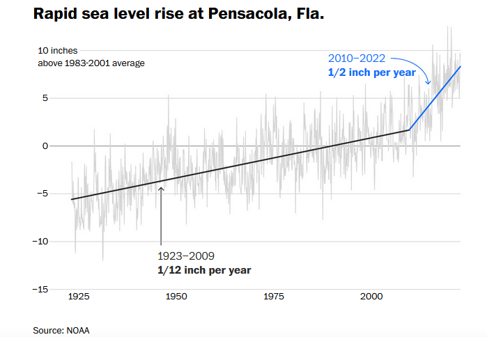
But recent news in the scientific world has shown proof of our exceptionality, albeit this one is a dubious honor. Up-to-the-minute sea level rise data shows water levels in the Gulf are rising at a rate faster than nearly anywhere else in the world. A recent Washington Post article highlights half a dozen independent studies backing this claim. The article, along with several of the studies, specifically mentions Pensacola due to the “rapid decadal acceleration” of measured sea level in our bay since 2010. This data is particularly alarming because here we are not dealing with land subsidence—the sinking/shrinking of land due to wetland loss, oil drilling, or excessive groundwater extraction—the way many parts of south Louisiana and Texas are. We are looking at straight up water levels rising.
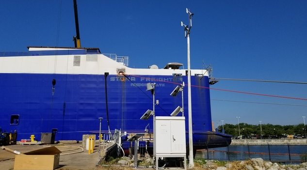
While this data is recent, monitoring sea levels in Pensacola Bay is not a new science. Thanks to a tide gauge located near the Port of Pensacola, we have local data for the last 100 years. The gauge started out not much more technical than a yardstick, a float, a pen, and paper, but modern sea level monitoring uses electrical/acoustic materials backed up by NOAA and NASA satellites. Between 1920 and the mid-2000’s, our gauge measured a little over 10 inches (265 mm) of sea level rise. But the recent tracking shows a marked increase—5 inches—since 2010. Based on the current trajectory, NASA’s intermediate range predictions show a 4-foot additional increase in sea level (relative to 2000) in the Gulf of Mexico by 2100. Restating that, the difference in sea level rise over the last 100 years has been approximately 10 inches—but in the next 75-100 years, the increase in sea level rise could be close to 48 inches.
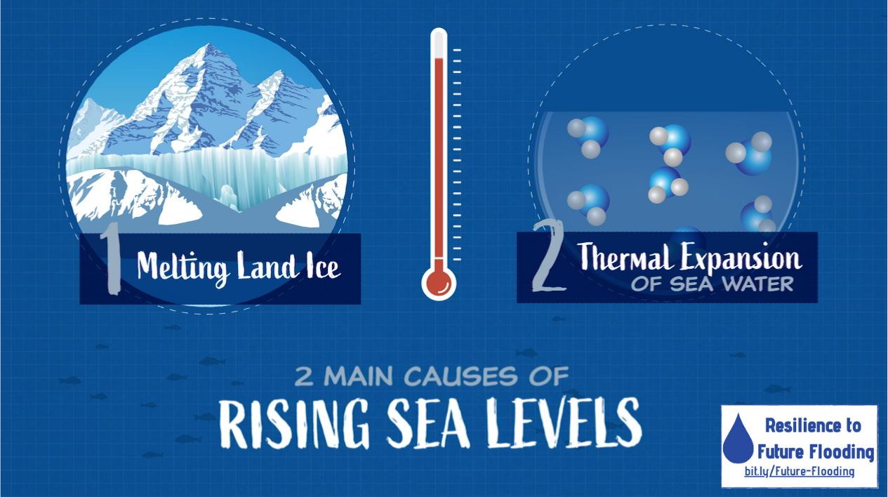
Besides glacial land ice melting and increasing sea levels worldwide, there are several potential explanations for these specific changes in the Gulf of Mexico. The Gulf, to begin with, is already warm. Being semi-enclosed, it holds and keeps water heated more efficiently, akin to a kiddie pool on a summer day vs. a larger outdoor pool. We also have the influence of the Loop Current, which brings warm water into the Gulf from the steamy Caribbean. Warm water causes thermal expansion—essentially, the water molecules are moving faster and taking up more space.
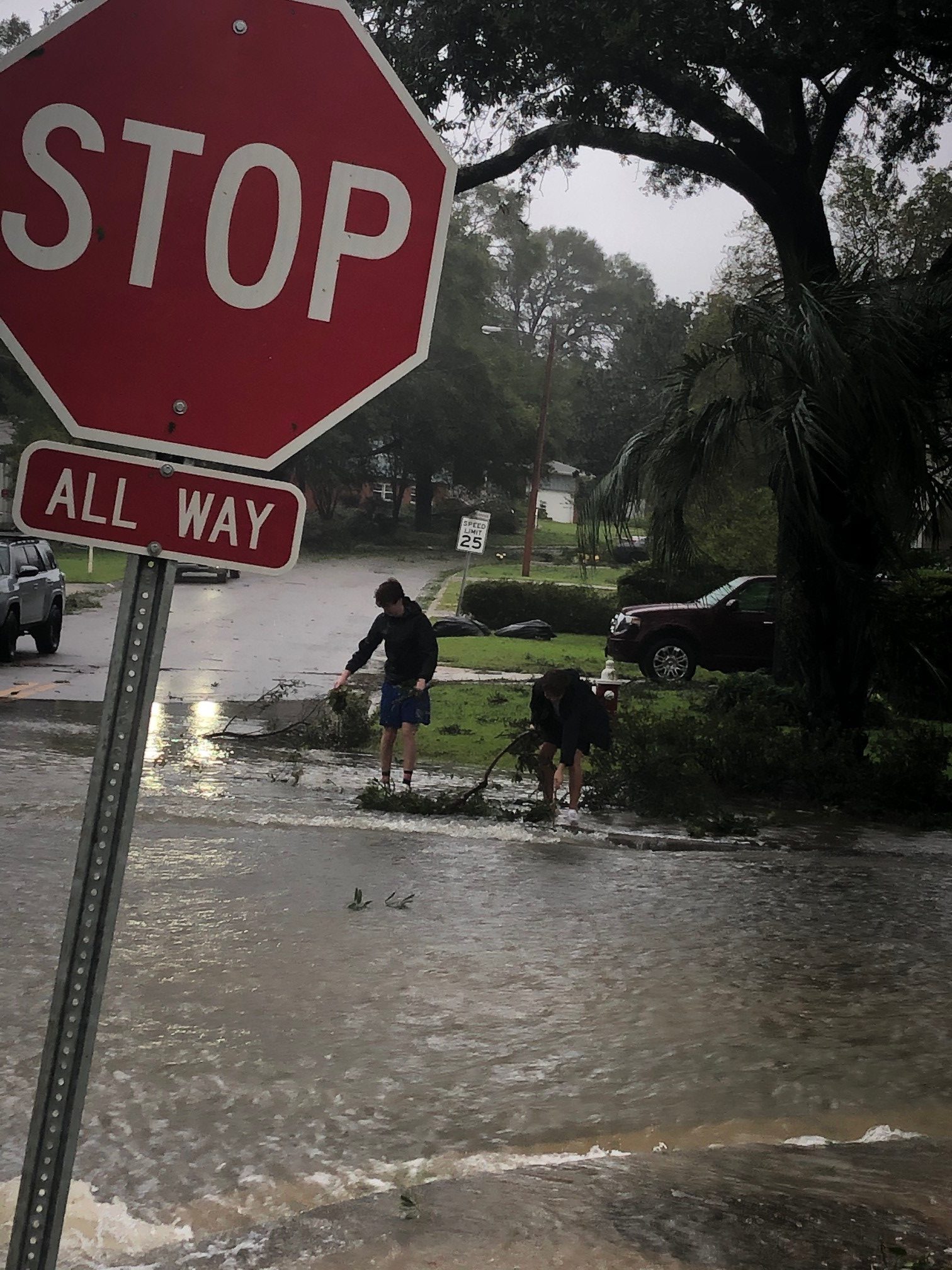
Most of us only think about it during hurricane season, but the super-heated Gulf of Mexico translates into pure fuel for incoming storms, increasing their intensity and rainfall. Hurricanes Michael and Ian in the last 5 years have been some of the strongest storms in modern history. Couple the increased water levels with storm surge, and flooding from a tropical storm or hurricane brings even more devastation. The higher water levels can also lead to increased flooding during typical rainstorms or even high tides. As we speak, several of our downtown stormwater drains fill with bay water at high tide, backing water up and preventing stormwater from flowing out. This, of course, results in more flooding. These types of problems are multiplied throughout the southeastern United States, including huge cities like Houston, New Orleans, and Miami.
There is some glimmer of hope that perhaps the major jump in sea level rise between 2010-2022 is the result of a lag effect from unusual Atlantic currents in 2009-2010, and this increase will settle down into a slightly flatter (but still amplifying) pattern. But that is no guarantee. The fact that we had such rapid increases in such a short span of time is alarming, showing that changes are happening faster than anyone would have predicted. The major federal agencies are presuming this is the new trend, and we should all—elected officials, tourists, builders, current and future residents—be taking notice.
 5
5
